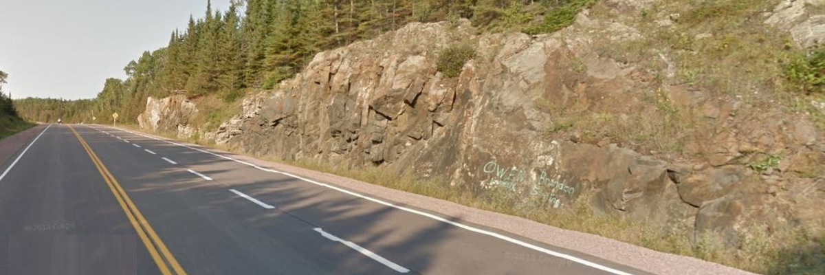
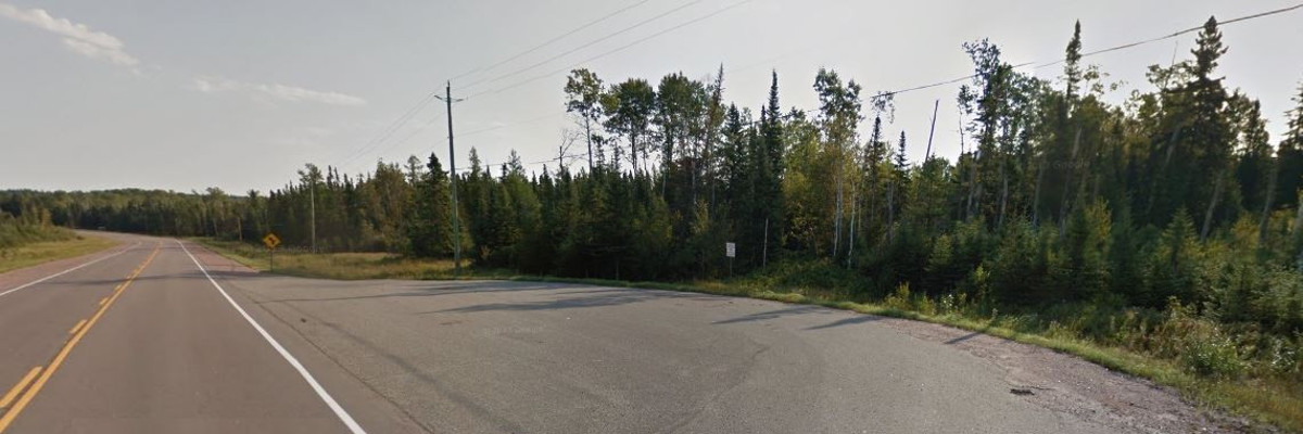
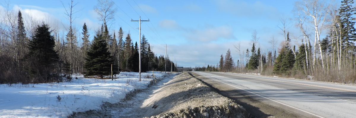
The Ministry of Transportation (MTO) has retained WSP to undertake the Detail Design and Class Environmental Assessment (EA) Study for the four lane expansion of Highway 11/17 from 1.3 km west of Highway 582 to Coughlin Road, for 8 km. The study limits of this project are located within the Townships of Stirling and Lyon, within the Unorganized District of Thunder Bay. The study limits are shown in the key plan.
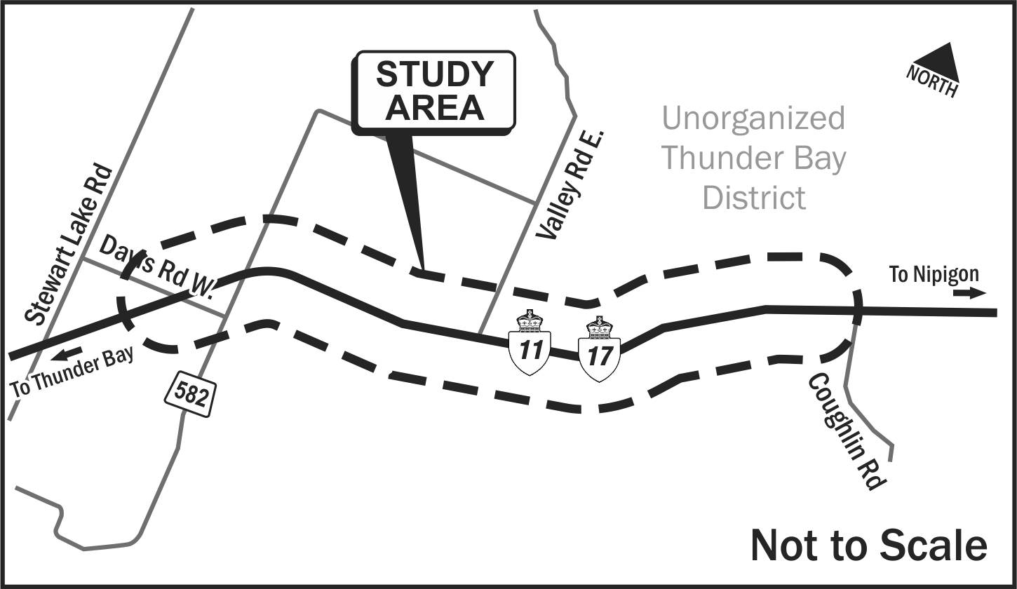
Highway 11/17 is a strategic link in the Trans-Canada Highway system. Transcontinental, regional and local traffic rely heavily on this highway and there is no alternative continuous roadway between Thunder Bay and Nipigon (approximately 100 km). The proposed four-laning will:
- Provide a parallel, continuous, alternative route in the event of a roadway collision/incident, natural disaster or structural loss, which could lead to the closure of the existing roadway;
- Protect the Region’s economy by removing the potential economic impact of the closure of Highway11/17; and
- Improve traffic operations and highway safety along this section of the Trans-Canada Highway.
The preferred four-lane design alternative which received EA approval in 1997 will address the current and future needs of Highway 11/17 within the study limits.
As part of this detail design project, an Addendum to the Environmental Study Report was prepared to document any changes to existing environmental conditions from 1997, and any proposed changes to the preferred Preliminary Design plan. Proposed changes may include widening the proposed right-of-way from 90 m to 110 m and alignment revisions to intersecting side-roads.
Upon completion of the Detail Design, a Design and Construction Report (DCR) has been prepared. The DCR documents the updated detail design plans and the proposed environmental mitigation measures.
Once completed, the four-laning of Highway 11/17 through the study area will provide a continuous (approximately) 100 km stretch of four-lane divided highway easterly from Thunder Bay.